Mapping is a useful tool in portraying land information visually. This department utilizes ESRI ArcMap 10.2 – ArcGIS 10.2 to create various kinds of plats for projects how and whenever needed. This aid has brought valuable assistance to multiple projects and is a good way to track status.
- Lease Hold
Landmen leasing utilize the GIS department for translating leasehold percentages from reports to maps. This gives an overall status and colors greatly assist to distinguish objectives and competitors in a given area.
- Tract Descriptions (Metes & Bounds)
Landmen running title may have difficult, lengthy tract descriptions defined in metes and bounds. GIS mapping plots the tract exactly allowing them to see where, the shape and how large their tract is. Seeing the tract and surrounding area is helpful and verifies our reports accurately describe the tract.
- Surface
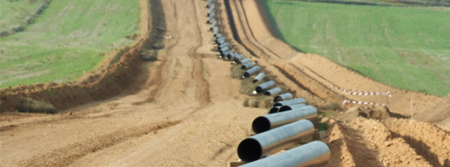
Landmen working on surface projects use our GIS department in order to determine actual boundaries of what lands are involved. These lands can be shown in aerial view which signify where pipelines cross through properties and if structures might interfere.
- Output Our most common form of map output is printed 11 x 24” however, we are able to generate various file types for electronic distribution.

